|
|
|
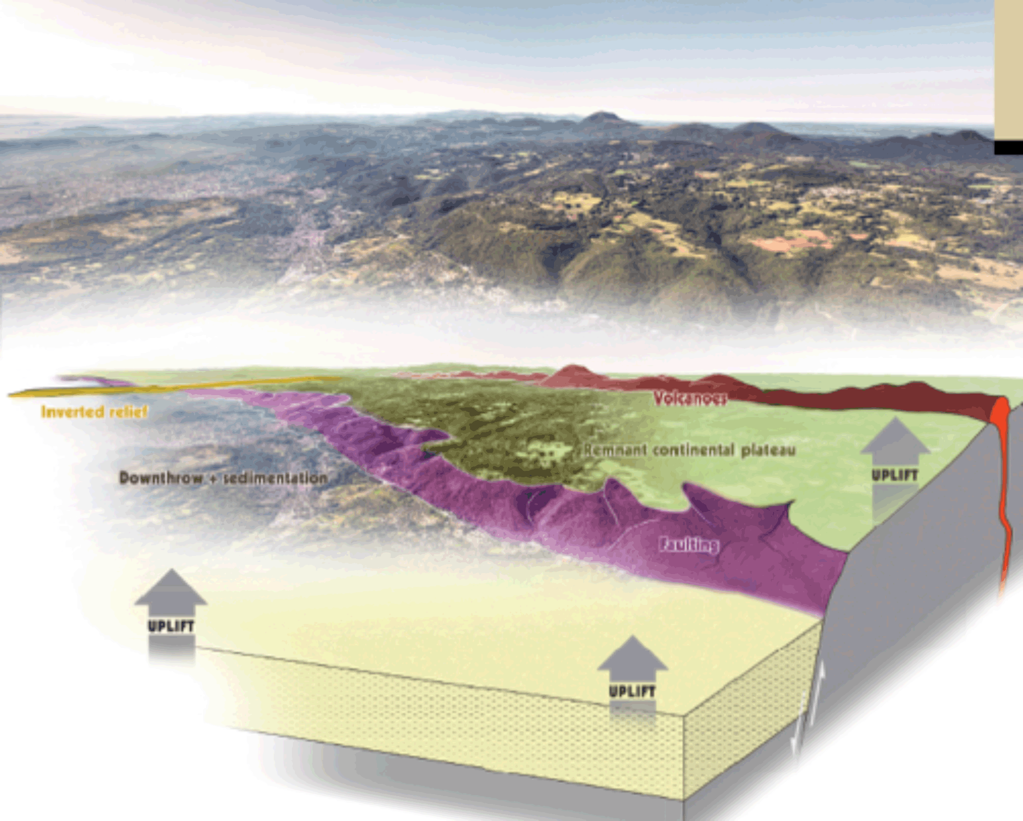
Field Trips > Field trip # 2: Managing volcanic landscapes by grazing in a World Heritage context in the Chaîne des Puys – Limagne Fault (CDPLF)Coordinator: Yves Michelin (geographer and agronomist) Keywords: UNESCO World heritage application, pastoralism, landscape and geology, agro-ecology Short description: The CDPLF represents one of the major places in the world for discovering and understanding the continental rifting process, a major phenomenon of Earth history (an integral part of the plate tectonics) that combines uplift, down throw and sedimentation, and associated volcanism. Each of the associated landforms is remarkably manifested in the landscape, the Limagne fault escarpment, the volcanic alignment of more than 80 volcanos, strictly parallel to the fault, and inverted reliefs like “montagne de la serre” that show the uplift and erosion process. The concentration and distribution of these pure and fresh landforms within a single area provide an overview of the whole rifting process and clarify the intrinsic links between the features as well as their chronology. The possibility for visitors to visit the site and to understand the geological process is correlated to the fact that the landscapes are open around the major volcanos.
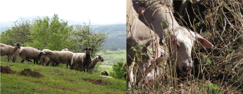
3D diagram illustrating the rifting process in the CDPLF (A LTh, CD63, 2018) For this reason, the place is applying to be registered on the World Heritage list (criterion viii) and the decision will be taken this year in June, at the annual session of the World Heritage Committee. It is also a strongly protected area included in the regional park of Auvergne Volcanoes. Actually, in the mountainous mild climate context of the Massif Central, the natural vegetation dynamic drives toward a deciduous forest under 900 m high, and a mixed forest (beech and fir) above this altitude that masks the views and erases the landforms. However, fortunately, grazing activity that concerns thousands of common lands, that has existed for at least 2000 years, has maintained large open areas without any fences which are covered by meadows and heather. The paradox is that these landscapes look completely natural but in fact, this natural appearance is “gardened” by traditional pastoral activities. As a consequence, the management plan for this land, conceived and designed with local stakeholders, farmers and municipalities, aims to encourage farmers to maintain and develop their activity by incorporating into their grazing practices the objective of making landforms and associated geological processes more visible. Another aspect of the challenge is to protect the rich local biodiversity and to conciliate grazing activity with managing the flow of visitors that appreciate climbing the tops of volcanos or doing mountain-biking, horse riding and other full nature sporting activities. • Flyer of Field Trip 2/5 For this field trip participants need to be in good physical condition and have suitable warm clothing and walking shoes.
|


